Field Visit to Koshi Accelerates AI Solutions for Climate Resilience
Media Coverage
September 30, 2025As part of the ongoing four-month project with the Food and Agriculture Organization (FAO) under the A² Innovation Lab, the NAAMII team visited Koshi Province from September 27–29, along with NAXA. The visit was aimed to capture farmers’ testimonials, document on-ground realities, and film the ongoing process of using drone and AI technologies to assess flood-induced crop damage.
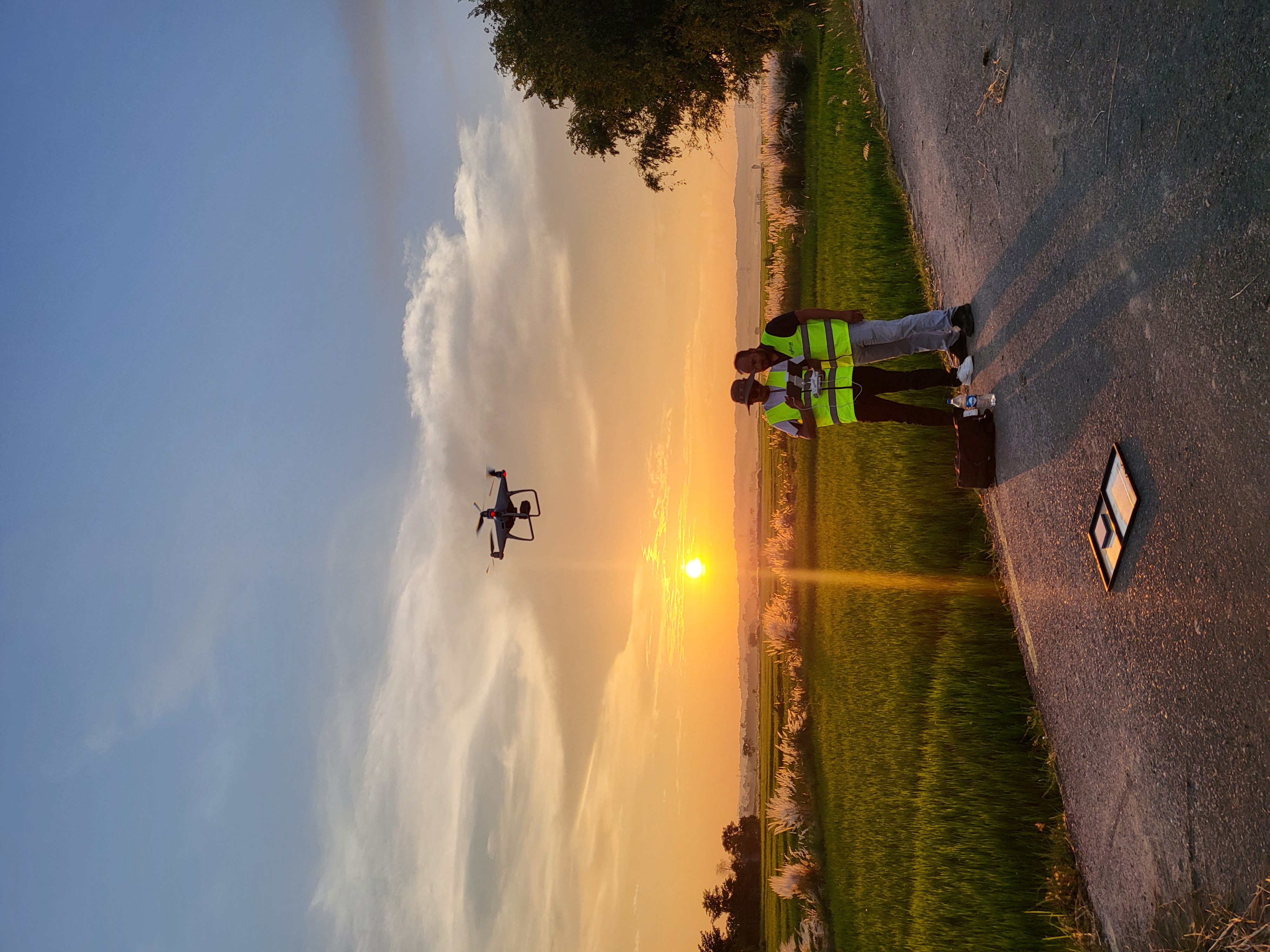
During the visit, NAXA led drone surveys and data processing across multiple municipalities using LiDAR and multispectral imaging, producing high-resolution aerial maps and 3D surface models that reveal crop conditions, soil patterns, and how floods have altered the landscape. These spatial datasets will feed into the AI-based analysis being developed by the team to evaluate flood damage, recommend post-flood crop options, and help farmers replant more effectively.
The team plans to return after the October floods to capture new data for near real-time assessment, supporting evidence-based recovery planning. Through this collaboration, NAAMII continues to bridge AI research with on-the-ground impact, strengthening resilience in vulnerable regions.